
Loading
TMinusZero
Loading
Preparing the latest launch data.
TMinusZero
Loading
Preparing the latest launch data.
Location
Mons Mouton is the Moon's tallest mountain that has been officially named. The base to peak height of this flat-topped mountain is 6 km per altimetry data from the Lunar Reconnaissance Orbiter. It lies between the craters Nobile and Malapert, within 6° of the lunar South Pole on the Moon's near-side. This is a region of special interest because of the presence of Permanently Shadowed Regions (PSRs) that could be cold traps for water, together with areas of extended solar illumination in their proximity.
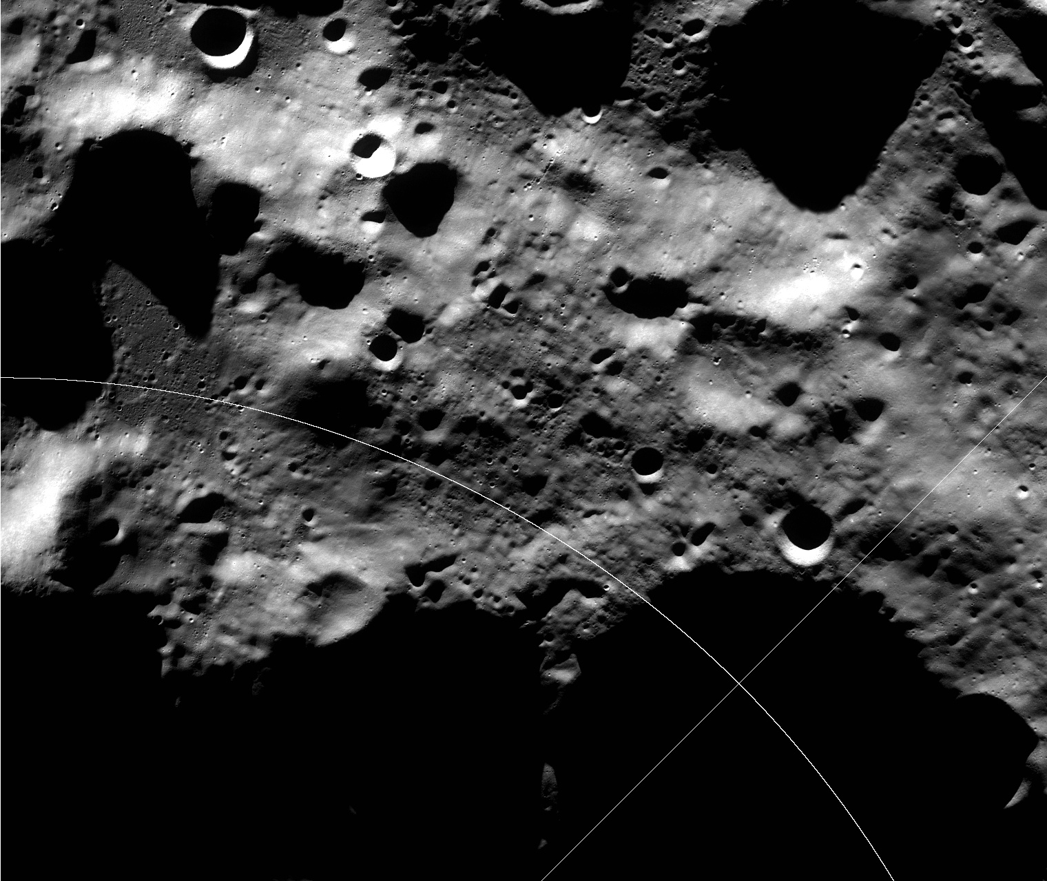
Mons Mouton is the location record for catalog id 183.
Mons Mouton is the Moon's tallest mountain that has been officially named. The base to peak height of this flat-topped mountain is 6 km per altimetry data from the Lunar Reconnaissance Orbiter. It lies between the craters Nobile and Malapert, within 6° of the lunar South Pole on the Moon's near-side. This is a region of special interest because of the presence of Permanently Shadowed Regions (PSRs) that could be cold traps for water, together with areas of extended solar illumination in their proximity.
No related launch rows are currently resolved for this catalog record.
This record is built from the Launch Library 2 public catalog cache. The page keeps provider, pad, vehicle, astronaut, event, and location records separate from launch detail pages so source-backed facts stay easy to audit.
Mons Mouton is treated as a launch-location record. Use it for regional context and related launch activity, while pad pages own individual complex-level details.
This page owns the catalog record. Collection pages own browsing, launch pages own mission timing and status, and the info hub explains the wider public-data surface.
Data provided by The Space Devs - Launch Library 2.