

Loading photos...
Loading mission resources...
Watch
Live coverage
Stream links and embedded coverage.
Loading related events...
Loading vehicle timeline...
Loading related news...
TMinusZero
Loading
Preparing the latest launch data.
Launch Detail
Loading launch detail
Pulling launch timing, vehicle context, weather signals, and mission evidence.
Launch detail
United Launch Alliance • Atlas V 401 • Space Launch Complex 3E (CA)
Top answer
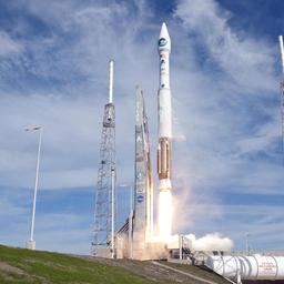
Landsat 8 is an American Earth observation satellite launched on 11 February 2013. It is the eighth satellite in the Landsat program; the seventh to reach orbit successfully. Originally called the Landsat Data Continuity Mission (LDCM), it is a collaboration between NASA and the United States Geological Survey (USGS). NASA Goddard Space Flight Center in Greenbelt, Maryland, provided development, mission systems en...
Last refreshed: Dec 30, 2023, 8:29 AM PST. T-Minus Zero keeps this as the canonical launch record and reconciles schedule, mission, payload, media, and provider signals when those records are available.
Stream links and embedded coverage.
Premium keeps the launch-by-launch change log visible so you can review slips, window edits, and status changes without waiting for an error-driven upgrade prompt.
Free-to-share photography matched to this launch. Tap a photo to view it at full resolution.
 Landsat 8 (DCM)
Linked via Spaceflight News API (SNAPI).
 Article
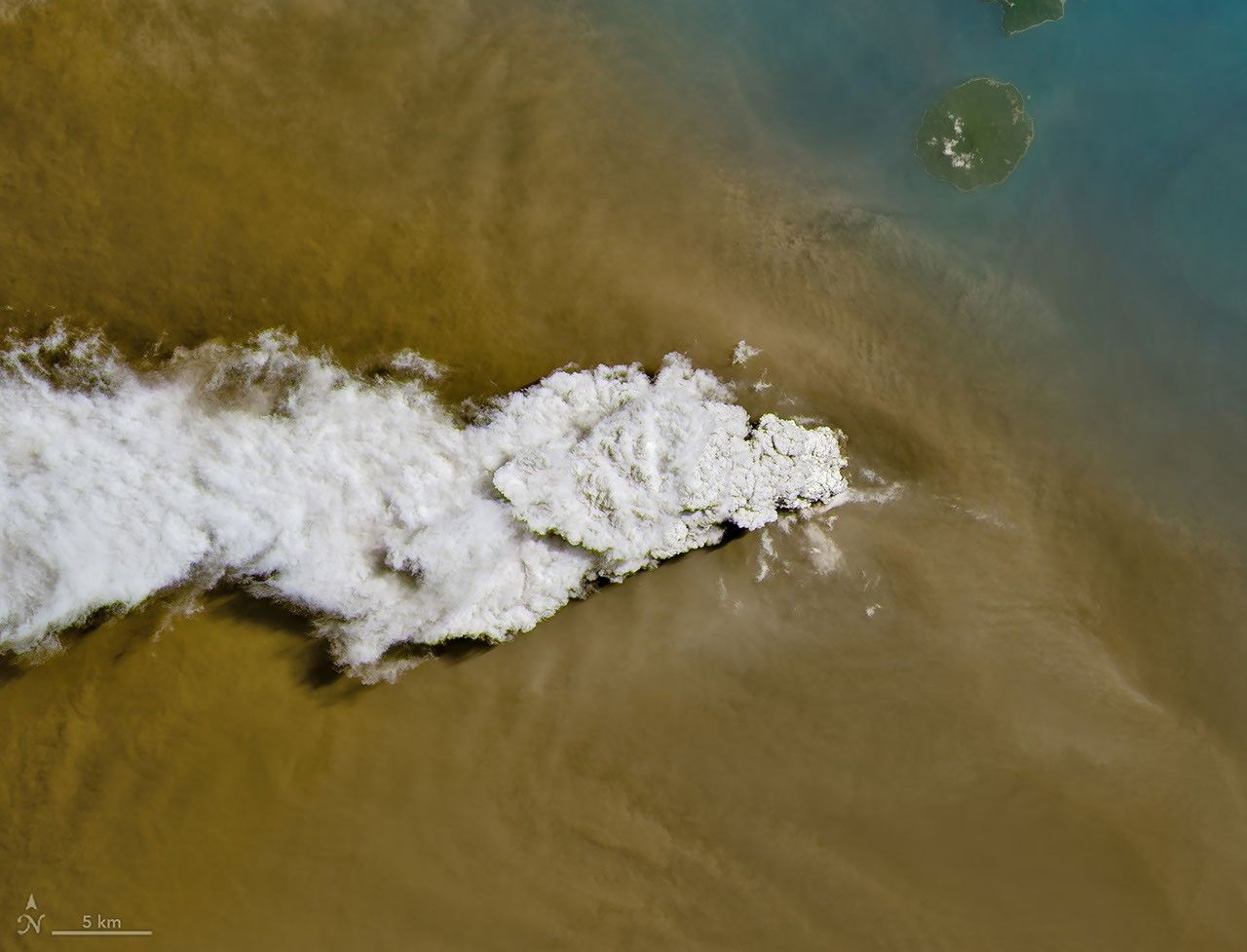
A powerful eruption from the Indonesian volcano lofted ash into the atmosphere, disrupting thousands of flights and degrading air quality.
 Article
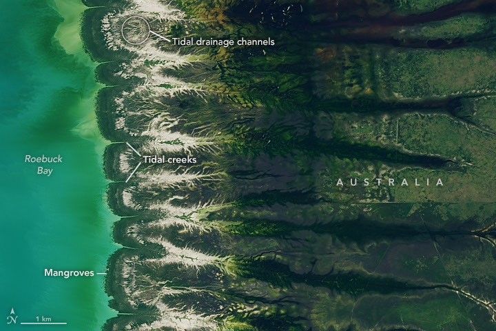
Tidal and seasonal shifts leave their mark on this crescent-shaped, productive bay in Western Australia’s Kimberley region.
 Article
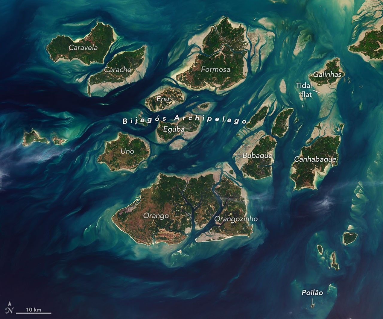
The expansive mudflats, sandy beaches, and mangrove forests of the Bijagós archipelago support an array of migratory shorebirds and large numbers of sea turt...
 Article
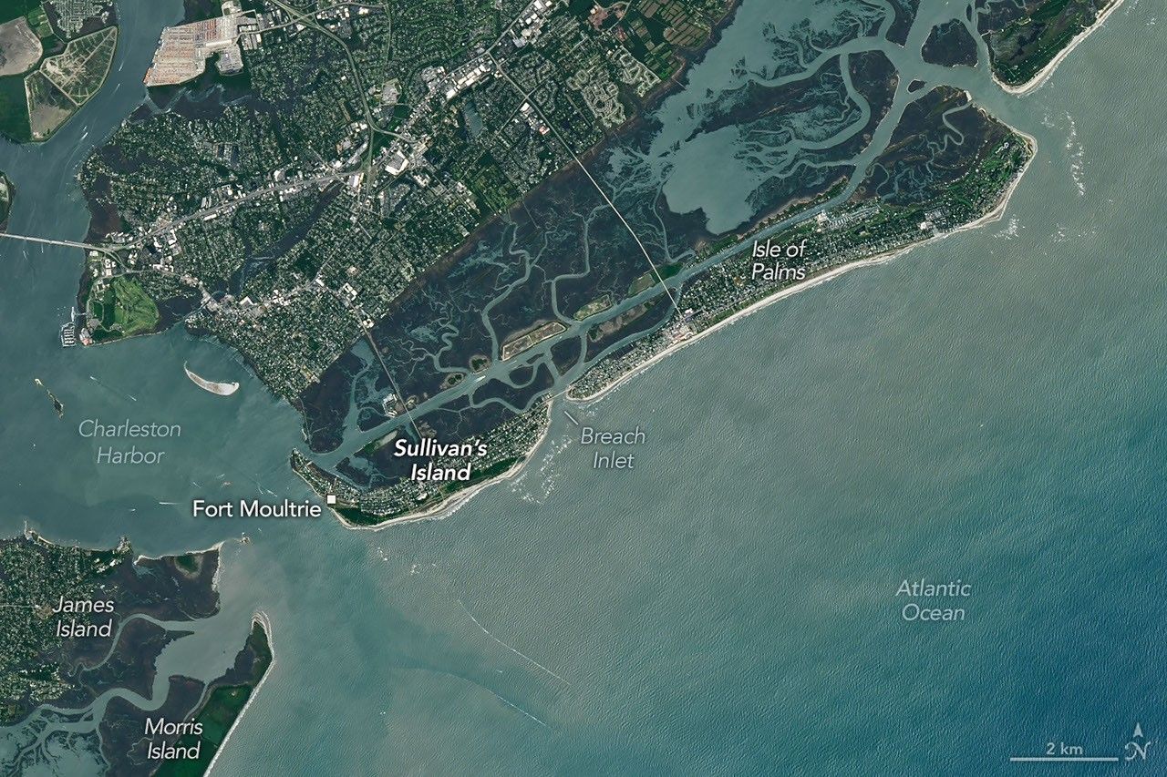
Marshy, sandy terrain and an impassable inlet helped colonial forces repel British forces during a pivotal battle on the barrier island near Charleston, Sout...
 Article
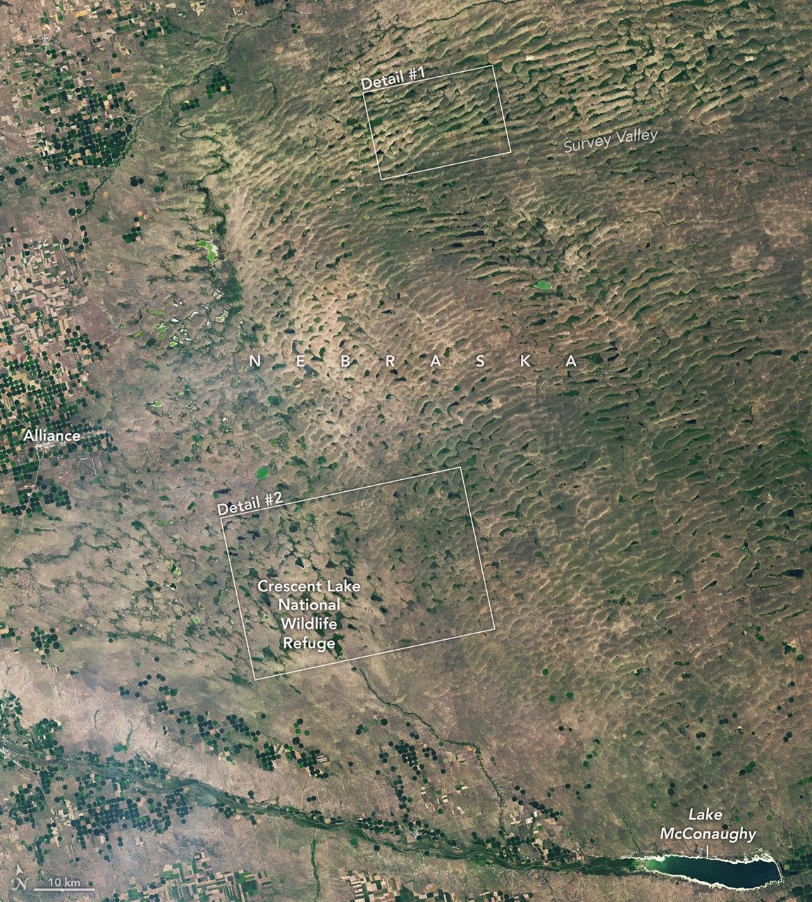
The Nebraska Sandhills—the largest system of sand dunes in the Western Hemisphere—stretch across about one-quarter of the state.
 Article
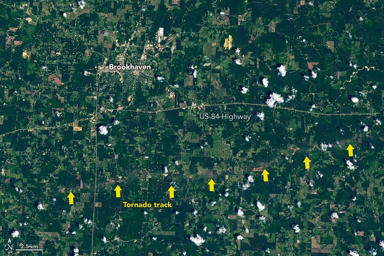
The strongest of several twisters to touch down in the southern part of the state in early May 2026 left a visible path of damaged vegetation.
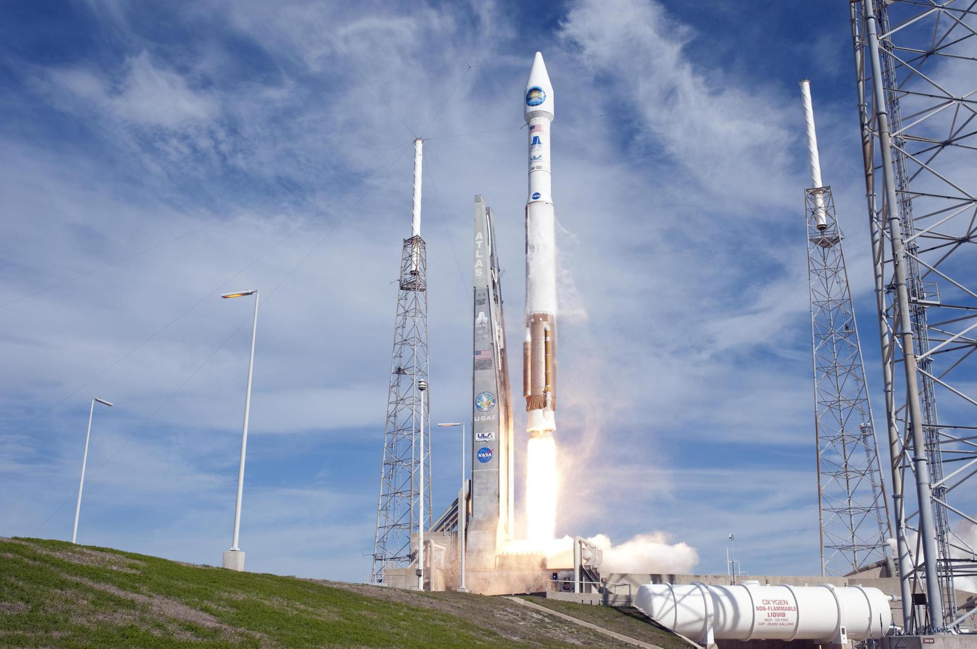
Landsat 8 is an American Earth observation satellite launched on 11 February 2013. It is the eighth satellite in the Landsat program; the seventh to reach orbit successfully. Originally called the Landsat Data Continuity Mission (LDCM), it is a collaboration between NASA and the United States Geological Survey (USGS). NASA Goddard Space Flight Center in Greenbelt, Maryland, provided development, mission systems engineering, and acquisition of the launch vehicle while the USGS provided for development of the ground systems and will conduct on-going mission operations. It comprises the camera of the Operational Land Imager (OLI) and the Thermal Infrared Sensor (TIRS), which can be used to study Earth surface temperature and is used to study global warming.
Alternate mission URLs consolidate to this canonical launch record so exact mission timing, status, media, and source context stay on one page.
Use these internal paths to move from this exact launch record into the provider, vehicle, launch-site, schedule, and mission-family pages that own broader context.
This launch currently has no dedicated mission-family hub, so provider, vehicle, site, and canonical record links are the primary internal paths.
Key structured fields for this launch record are grouped here so the page answers mission, payload, orbit, provider, source, and timing questions before the deeper tracking and media sections.
This record is preserved as historical launch context. The page emphasizes what was launched, the vehicle and pad involved, published outcome/status fields, linked programs, and source records instead of treating the mission like an upcoming countdown.
Open the launch pad in Google Maps satellite mode using the pad coordinates.
Landsat 8 is an American Earth observation satellite launched on 11 February 2013. It is the eighth satellite in the Landsat program; the seventh to reach orbit successfully. Originally called the Landsat Data Continuity Mission (LDCM), it is a collaboration between NASA and the United States Geological Survey (USGS). NASA Goddard Space Flight Center in Greenbelt, Maryland, provided development, mission systems engineering, and acquisition of the launch vehicle while the USGS provided for development of the ground systems and will conduct on-going mission operations. It comprises the camera of the Operational Land Imager (OLI) and the Thermal Infrared Sensor (TIRS), which can be used to study Earth surface temperature and is used to study global warming.
An Atlas V with a 4 meter diameter fairing, no boosters and a single centaur upper stage engine.
United Launch Alliance (ULA) is a joint venture of Lockheed Martin Space Systems and Boeing Defense, Space & Security. ULA was formed in December 2006 by combining the teams at these companies which provide spacecraft launch services to the government of the United States. ULA launches from both coasts of the US. They launch their Atlas V vehicle from LC-41 in Cape Canaveral and LC-3E at Vandeberg. Their Delta IV launches from LC-37 at Cape Canaveral and LC-6 at Vandenberg.
ebe2853b7b7dc1d11c9cf37e637fe71338db494cb9195f90b7f26589ddfae3d4Provider, rocket, pad, and booster history tied to this launch.