Loading mission resources...
Watch
Live coverage
Stream links and embedded coverage.


Loading related events...
Loading vehicle timeline...
Loading related news...
Launch Detail
Pulling launch timing, vehicle context, weather signals, and mission evidence.
Launch detail
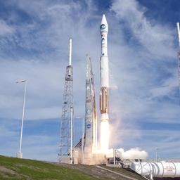
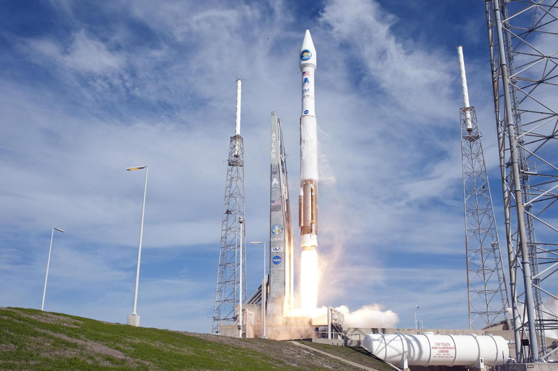
United Launch Alliance • Atlas V 401 • Space Launch Complex 3E (CA)
United Launch Alliance • Atlas V 401 • SLC-3E
Landsat 9 is a partnership between NASA and the U.S. Geological Survey to continue the Landsat program's critical role in monitoring, understanding and managing the land resources needed to sustain human life. Landsat 9, like Landsat 8, has a higher imaging capacity than past Landsats, allowing more valuable data to be added to the Landsat global land archive. Its operational orbit is a sun-synchronous orbit at an altitude of 705 km for a mission lifetime of at least 5 years.
Stream links and embedded coverage.
Open the launch pad in Google Maps satellite mode using the pad coordinates.
Landsat 9 is a partnership between NASA and the U.S. Geological Survey to continue the Landsat program's critical role in monitoring, understanding and managing the land resources needed to sustain human life. Landsat 9, like Landsat 8, has a higher imaging capacity than past Landsats, allowing more valuable data to be added to the Landsat global land archive. Its operational orbit is a sun-synchronous orbit at an altitude of 705 km for a mission lifetime of at least 5 years.
An Atlas V with a 4 meter diameter fairing, no boosters and a single centaur upper stage engine.
United Launch Alliance (ULA) is a joint venture of Lockheed Martin Space Systems and Boeing Defense, Space & Security. ULA was formed in December 2006 by combining the teams at these companies which provide spacecraft launch services to the government of the United States. ULA launches from both coasts of the US. They launch their Atlas V vehicle from LC-41 in Cape Canaveral and LC-3E at Vandeberg. Their Delta IV launches from LC-37 at Cape Canaveral and LC-6 at Vandenberg.
Premium keeps the launch-by-launch change log visible so you can review slips, window edits, and status changes without waiting for an error-driven upgrade prompt.
Linked via Spaceflight News API (SNAPI).
 Article
For over 50 years, the Landsat program has provided the longest continuous satellite record of Earth’s land surface from space. Landsat 9, launched in 2021,...
 Article
The Operational Land Imager on Landsat 9 captured this image of Buccaneer Archipelago on June 11, 2025. The scene encapsulates the striking interactions betw...
 Article
NASA transferred ownership and operational control on Thursday of the Landsat 9 satellite to the U.S. Geological Survey (USGS) in a ceremony in Sioux Falls,...
 Article
Two NASA satellites launched late last year are operational and returning imagery — one looking back at planet Earth and another peering into the cosmos in s...
 Article
Landsat 9, a joint mission between NASA and the U.S. Geological Survey (USGS) that launched Sept. 27, 2021, has collected its first light images of Earth.
 Article
Ground teams are stepping through testing of three small CubeSats launched with the Landsat 9 remote sensing satellite last month, preparing the small spacec...
0f9ca6cbfc64efe782a4722ed37f857845c3205e48ce102acb615c9025a37109Provider, rocket, pad, and booster history tied to this launch.