Live coverage
Stream links and embedded coverage.
TMinusZero
Loading
Preparing the latest launch data.
Launch Detail
Loading launch detail
Pulling launch timing, vehicle context, weather signals, and mission evidence.
Launch detail
United Launch Alliance • Atlas V 541 • Space Launch Complex 41 (FL)
Top answer
The Geostationary Operational Environmental Satellite-R Series (GOES-R) is the next generation of geostationary weather satellites. The four satellites of the series will provide advanced imaging with increased spatial resolution and faster coverage for more accurate forecasts, real-time mapping of lightning activity, and improved monitoring of solar activity. GOES-R is the first satellite of the series, and it wi...
Last refreshed: Jun 14, 2023, 1:42 PM EDT. T-Minus Zero keeps this as the canonical launch record and reconciles schedule, mission, payload, media, and provider signals when those records are available.
Stream links and embedded coverage.
Premium keeps the launch-by-launch change log visible so you can review slips, window edits, and status changes without waiting for an error-driven upgrade prompt.
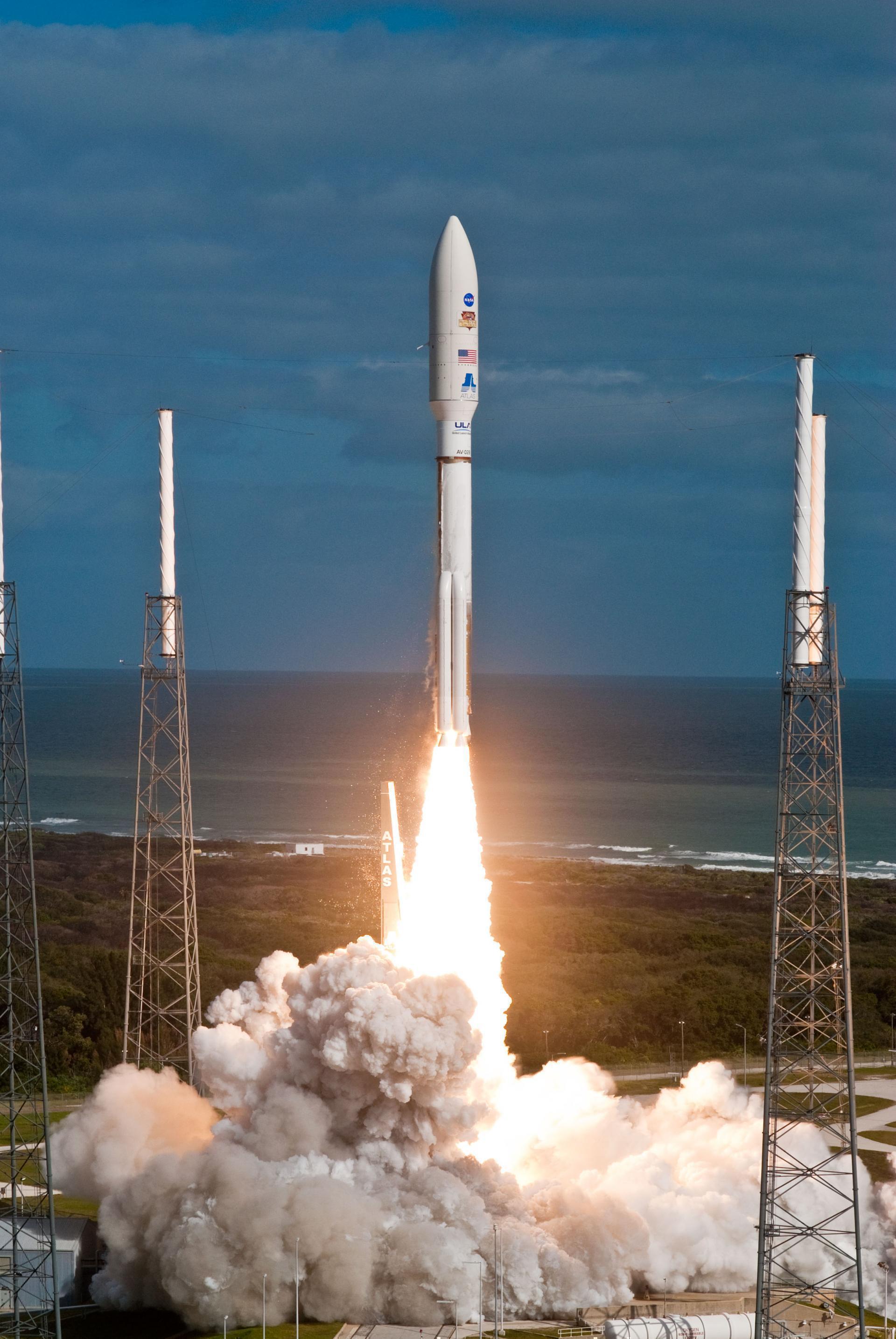
Free-to-share photography matched to this launch. Tap a photo to view it at full resolution.
Linked via Spaceflight News API (SNAPI).
ArticleHow NOAA's GOES-R weather and climate monitoring satellites are using new AI to monitor spacecraft operations.
ArticleThe National Oceanic and Atmospheric Administration awarded a contract to L3Harris Technologies to continue providing ground services for the current generat...
Enhanced forecast insights (select launches).
Premium adds the higher-signal weather shell for select Eastern Range launches, including the extra launch criteria and fast-read risk rows.
The Geostationary Operational Environmental Satellite-R Series (GOES-R) is the next generation of geostationary weather satellites. The four satellites of the series will provide advanced imaging with increased spatial resolution and faster coverage for more accurate forecasts, real-time mapping of lightning activity, and improved monitoring of solar activity. GOES-R is the first satellite of the series, and it will provide continuous imagery and atmospheric measurements of Earth’s Western Hemisphere and space weather monitoring. It will be the primary tool for the detection and tracking of hurricanes and severe weather.

Alternate mission URLs consolidate to this canonical launch record so exact mission timing, status, media, and source context stay on one page.
Use these internal paths to move from this exact launch record into the provider, vehicle, launch-site, schedule, and mission-family pages that own broader context.
This launch currently has no dedicated mission-family hub, so provider, vehicle, site, and canonical record links are the primary internal paths.
Some high-demand launch records carry specialized search intent. These profiles explain what can be verified from the published record without filling gaps that upstream sources have not published.
Payload and orbit evidence is shown from published launch, payload, mission, and source-link records so the page can answer spacecraft, customer, orbit, provider, and schedule intent.
Key structured fields for this launch record are grouped here so the page answers mission, payload, orbit, provider, source, and timing questions before the deeper tracking and media sections.
This record is preserved as historical launch context. The page emphasizes what was launched, the vehicle and pad involved, published outcome/status fields, linked programs, and source records instead of treating the mission like an upcoming countdown.
Open the launch pad in Google Maps satellite mode using the pad coordinates.
The Geostationary Operational Environmental Satellite-R Series (GOES-R) is the next generation of geostationary weather satellites. The four satellites of the series will provide advanced imaging with increased spatial resolution and faster coverage for more accurate forecasts, real-time mapping of lightning activity, and improved monitoring of solar activity. GOES-R is the first satellite of the series, and it will provide continuous imagery and atmospheric measurements of Earth’s Western Hemisphere and space weather monitoring. It will be the primary tool for the detection and tracking of hurricanes and severe weather.
Atlas V with 5m Fairing, 4 SRB, 1 Centaur upper stage engine.
United Launch Alliance (ULA) is a joint venture of Lockheed Martin Space Systems and Boeing Defense, Space & Security. ULA was formed in December 2006 by combining the teams at these companies which provide spacecraft launch services to the government of the United States. ULA launches from both coasts of the US. They launch their Atlas V vehicle from LC-41 in Cape Canaveral and LC-3E at Vandeberg. Their Delta IV launches from LC-37 at Cape Canaveral and LC-6 at Vandenberg.
4569eadb67a05645cd7e9be4e62db6f65afc37c160bc036d22ad984c6f29a1c2Provider, rocket, pad, and booster history tied to this launch.