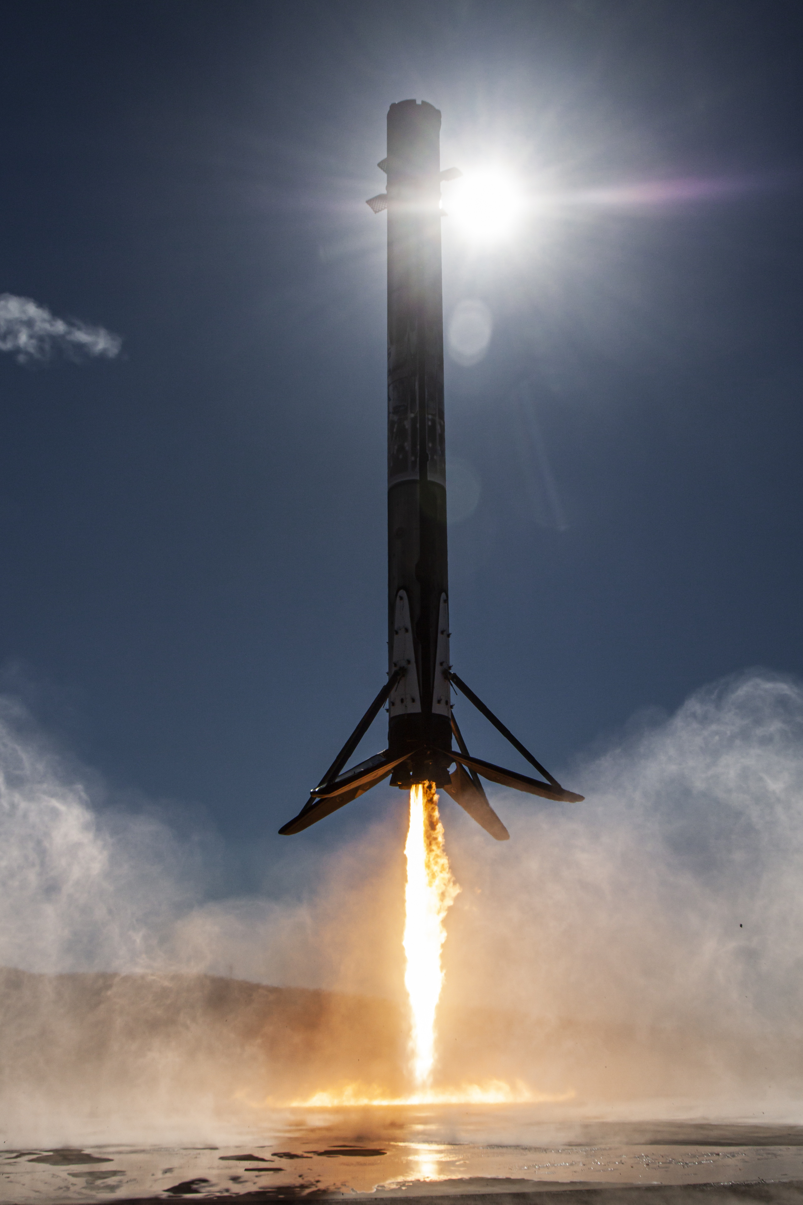
First stage
B1071
Tracked flights: 33
3 in 2026
First flight: Feb 02, 2022
Last mission: Apr 30, 2026, 2:00 AM UTC
Falcon 9 Block 5 booster first used for the NROL-87 mission.
Launch Detail
Pulling launch timing, vehicle context, weather signals, and mission evidence.
Launch detail
SpaceX • Falcon 9 Block 5 • Space Launch Complex 4E (CA)
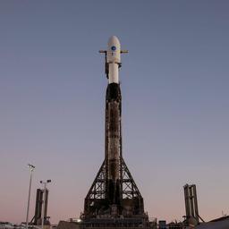
SpaceX • Falcon 9 Block 5 • SLC-4E
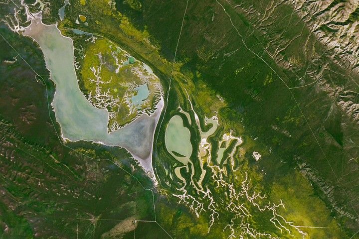
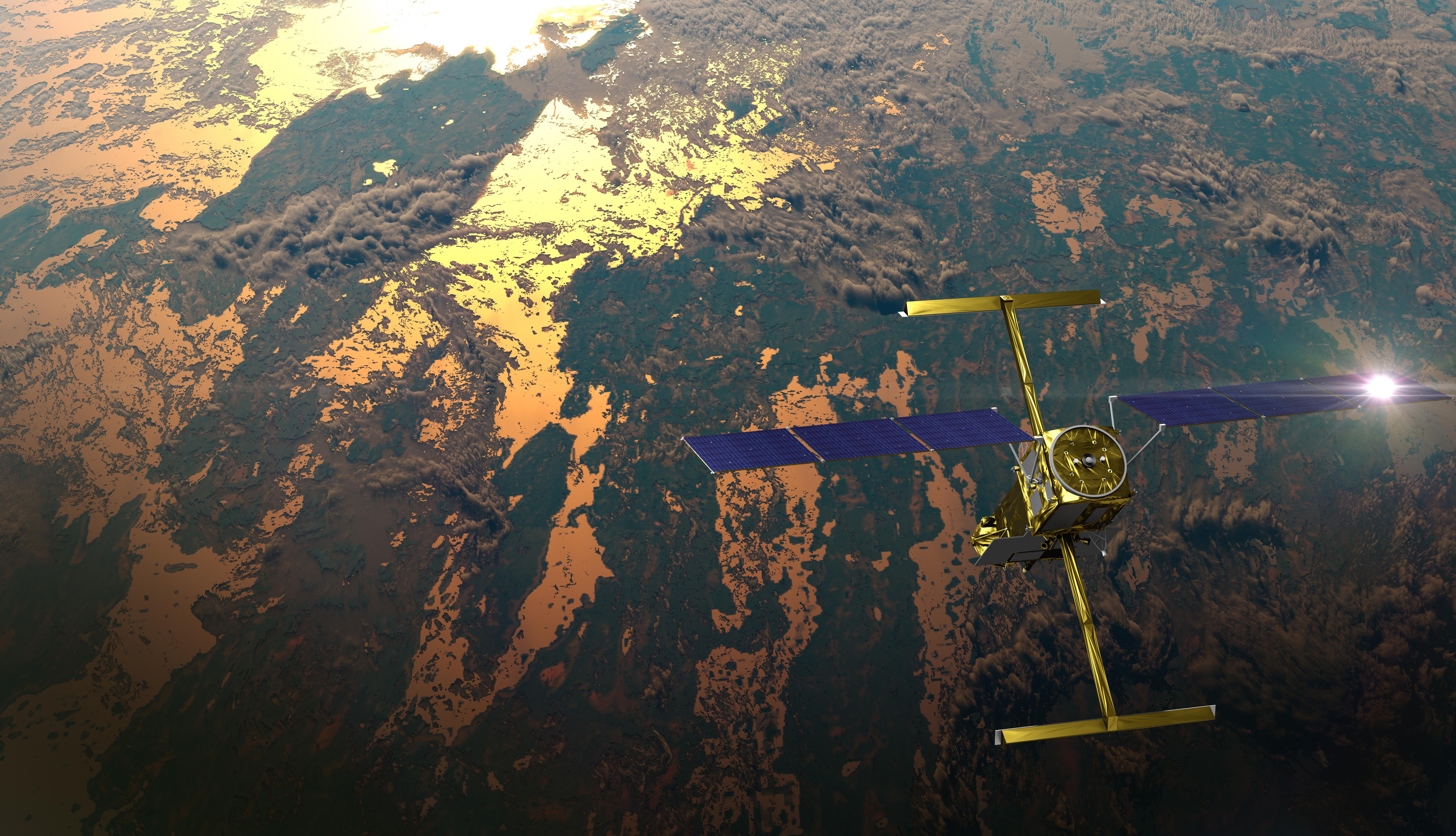
Satellite altimeter jointly developed by NASA and CNES, the French space agency, in partnership with the Canadian Space Agency (CSA) and UK Space Agency (UKSA) designed to make the first global survey of the Earth's surface water, to observe the fine details of the ocean surface topography, and to measure how terrestrial surface water bodies change over time.

Stream links and embedded coverage.
Open the launch pad in Google Maps satellite mode using the pad coordinates.
Satellite altimeter jointly developed by NASA and CNES, the French space agency, in partnership with the Canadian Space Agency (CSA) and UK Space Agency (UKSA) designed to make the first global survey of the Earth's surface water, to observe the fine details of the ocean surface topography, and to measure how terrestrial surface water bodies change over time.
Falcon 9 is a two-stage rocket designed and manufactured by SpaceX for the reliable and safe transport of satellites and the Dragon spacecraft into orbit. The Block 5 variant is the fifth major interval aimed at improving upon the ability for rapid reusability.
Space Exploration Technologies Corp., known as SpaceX, is an American aerospace manufacturer and space transport services company headquartered in Hawthorne, California. It was founded in 2002 by entrepreneur Elon Musk with the goal of reducing space transportation costs and enabling the colonization of Mars. SpaceX operates from many pads, on the East Coast of the US they operate from SLC-40 at Cape Canaveral Space Force Station and historic LC-39A at Kennedy Space Center. They also operate from SLC-4E at Vandenberg Space Force Base, California, usually for polar launches. Another launch site is being developed at Boca Chica, Texas.
Premium keeps the launch-by-launch change log visible so you can review slips, window edits, and status changes without waiting for an error-driven upgrade prompt.
Linked via Spaceflight News API (SNAPI).
 Article
Explore how rivers move, change, and sustain life across the planet with SWOT data.
 Article
Rivers rise and fall throughout the year, but by how much? Perhaps less than previously thought, according to new data from the SWOT mission. Hidden riverbed...
 Article
Blacksburg VA (SPX) Jan 21, 2026 What's the shape of water? In 2022, NASA launched the Surface Water and Ocean Topography (SWOT) satellite to answer thi...
 Article
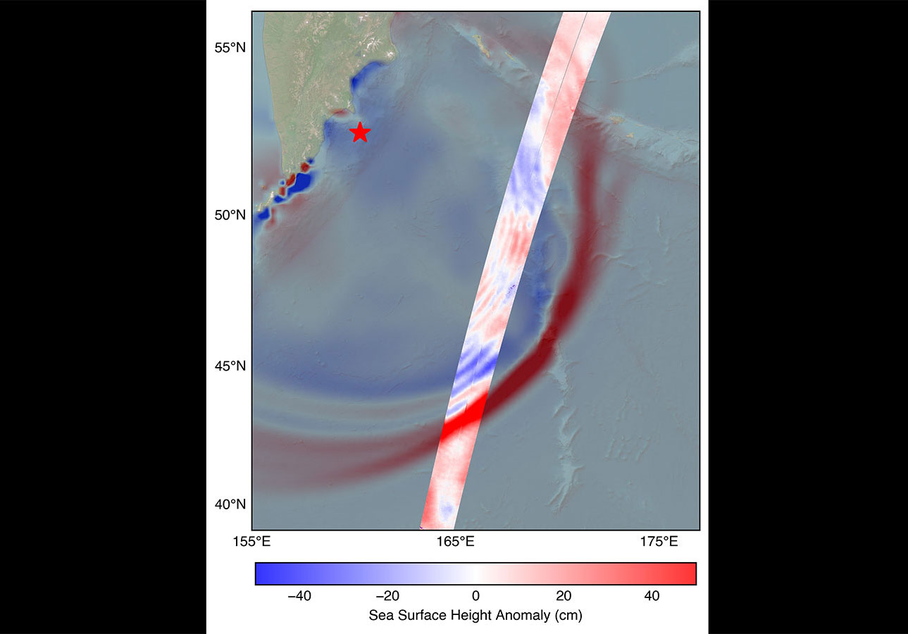
Data provided by the water satellite, a joint effort between NASA and the French space agency, is helping to improve tsunami forecast models, benefitting coa...
 Article
In a first, researchers from NASA and Virginia Tech used satellite data to measure the height and speed of potentially hazardous flood waves traveling down U...
 Article
The international mission collects two-dimensional views of smaller waves and currents that are bringing into focus the ocean’s role in supporting life on Ea...
Launch-stage and landing context surfaced from LL2 when it exists.
Falcon 9 Block 5 booster first used for the NROL-87 mission.
856517d7702577ddeb6c8ffb6fc53bf611bf702c350372b15d919263ad53cca7Provider, rocket, pad, and booster history tied to this launch.
Core-level mission cadence associated with this launch.